


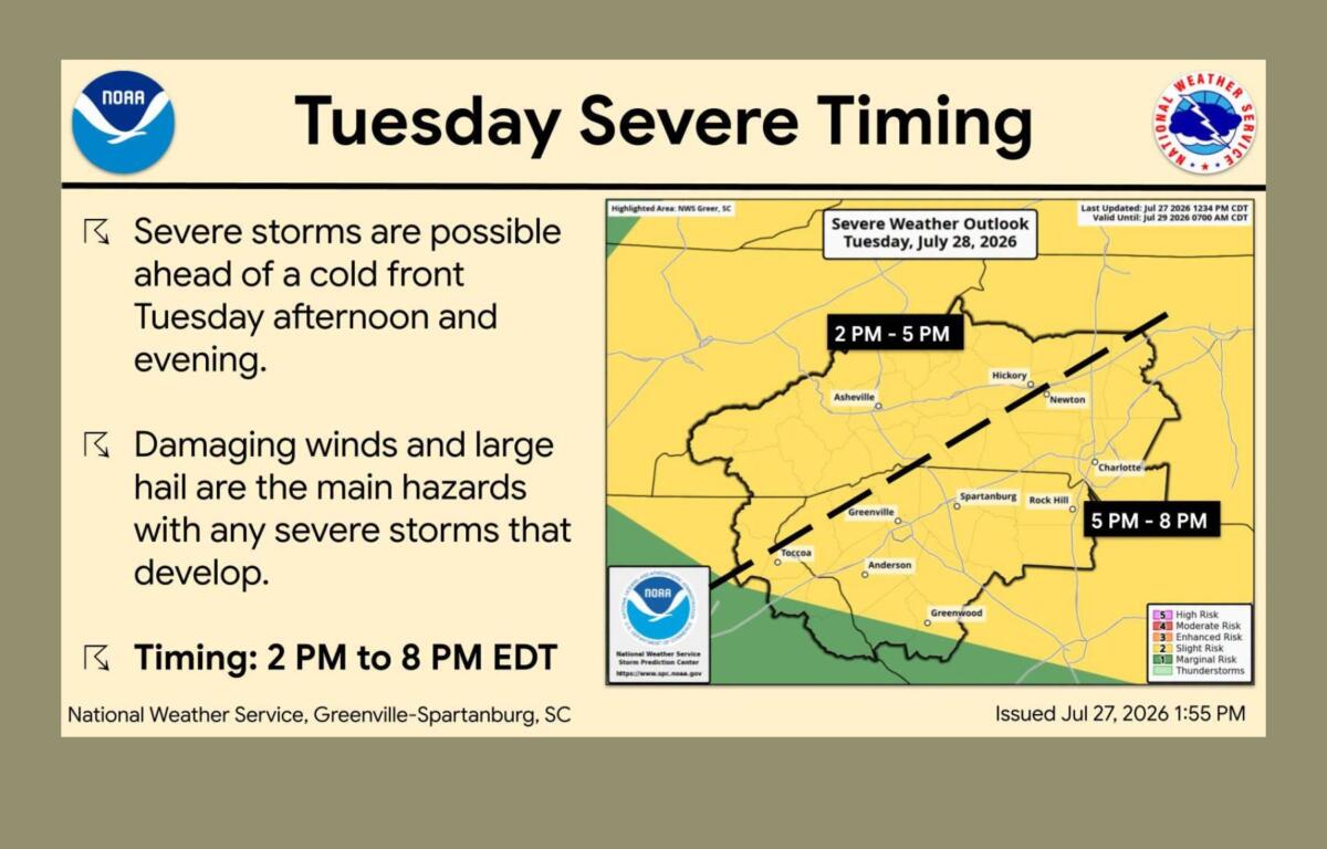

ASHEVILLE, N.C. (828newsNOW) — Western North Carolina could see strong to severe thunderstorms Tuesday afternoon and evening, with forecasters warning that damaging winds, large hail and even an isolated tornado are possible.
The National Weather Service in Greenville-Spartanburg says confidence has increased that storms will develop ahead of a cold front moving through the region. While not everyone will see severe weather, any storms that form could quickly become dangerous.
For Asheville and much of the mountains, the primary threats are wind gusts strong enough to damage trees and power lines and hail as large as quarters. Forecasters say a tornado cannot be ruled out, especially if individual storms become more organized.
Residents are encouraged to have multiple ways to receive weather warnings and be prepared to move indoors if severe weather develops.
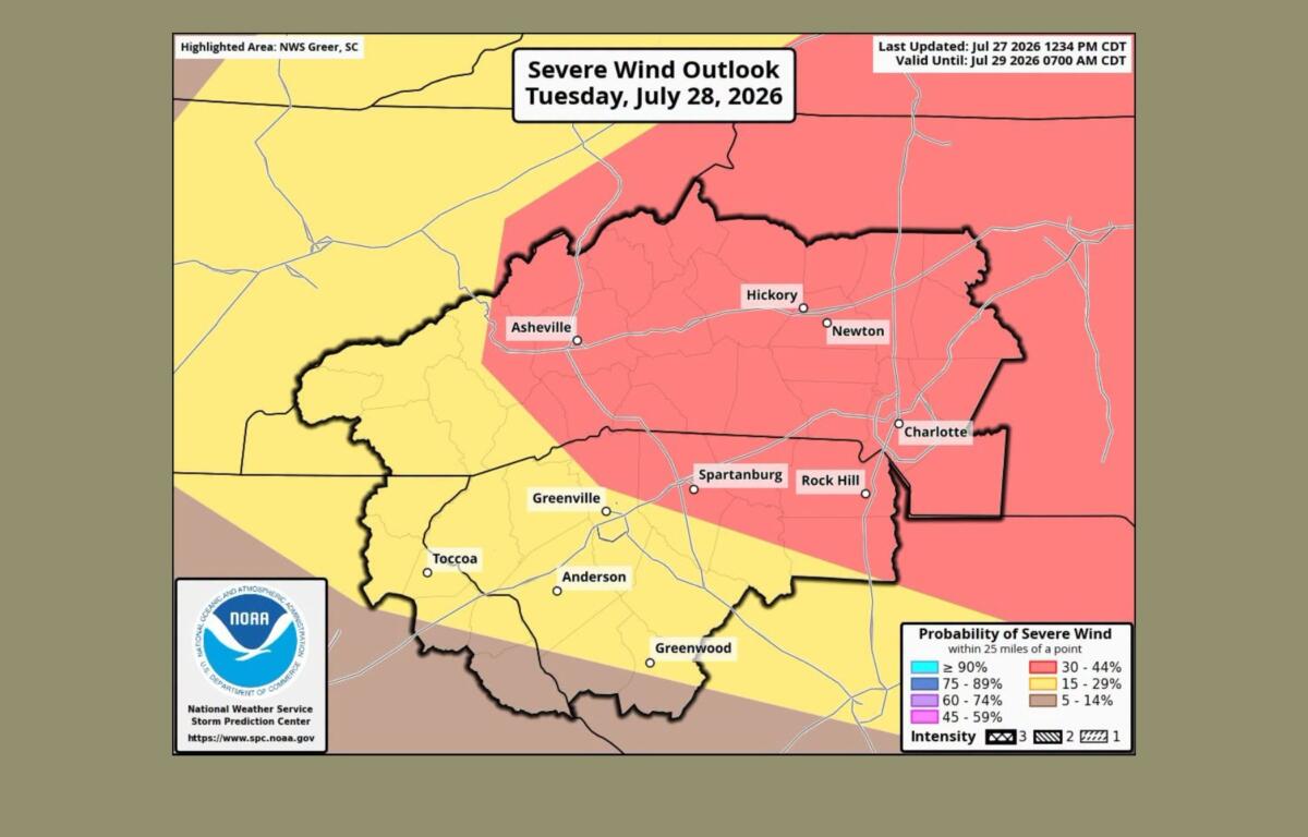
Tuesday will also be one of the hottest and most humid days of the week before cooler air arrives behind the cold front.
The forecast for Asheville calls for a high near 91 degrees with scattered showers and thunderstorms developing after late morning. Wind gusts could reach 22 mph outside of storms, with much stronger gusts possible in thunderstorms. The chance of rain is 50 percent.
Although no heat advisory has been issued for Buncombe County, the N.C. Department of Health and Human Services has issued heat-health alerts for parts of Western North Carolina, including Graham, Macon and Madison counties. Maximum heat index values are expected to reach the upper 90s in those areas.
Health officials urge people to drink plenty of water, limit strenuous outdoor activity during the hottest part of the day and spend time in air-conditioned spaces when possible. Older adults, people with chronic health conditions, outdoor workers, pregnant women and those without access to air conditioning face the greatest risk of heat-related illness.
Forecasters say conditions will improve quickly after the cold front passes Tuesday night.
Wednesday through Friday are expected to bring noticeably cooler temperatures, lower humidity and mostly dry weather across the mountains. High temperatures in Asheville will fall into the lower 80s Wednesday, with overnight lows dropping into the upper 50s by Wednesday night.
Shower and thunderstorm chances are expected to return over the weekend as another weather system approaches the Southeast.